


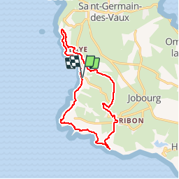


21 km | 27 km-effort

Benutzer


Kostenlosegpshiking-Anwendung
 SityTrail
IGN / Geografische Institute
SityTrail World
Die Welt öffnet sich für Sie
Tour Wandern von 13,4 km verfügbar auf Normandie, Manche, La Hague. Diese Tour wird von tracegps vorgeschlagen.
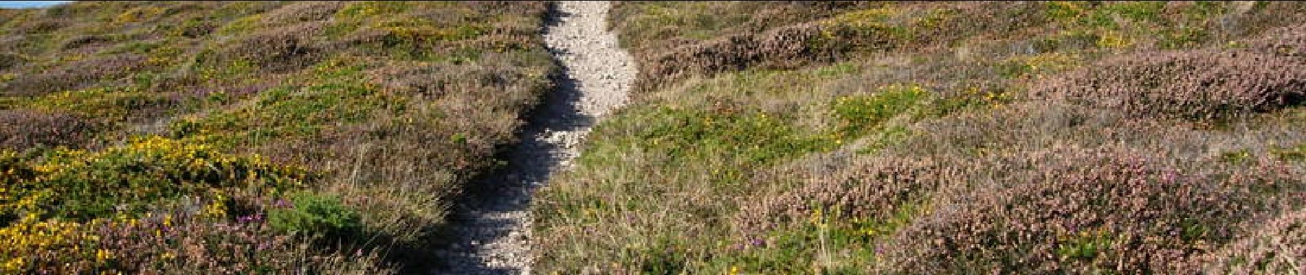
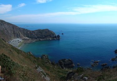
Départ et arrivée sur le parking de la baie d'Ecalgrain (circuit à déconseiller par grand vent). Vous serez émerveillés par ce circuit sur ces côtes encore sauvages et sa lande d'ajoncs et de bruyères. Voir le circuit FFRP n° 3519.


Wandern

Mountainbike

Zu Fuß

Wandern

Zu Fuß

Wandern

Wandern
Wandern
Zu Fuß